
Services
-

AGRICULTURE & FORESTRY
Precision agriculture using remote sensing technology provides farmers with scientific and applied methodologies to monitor fields and project the future of their harvest
-
-
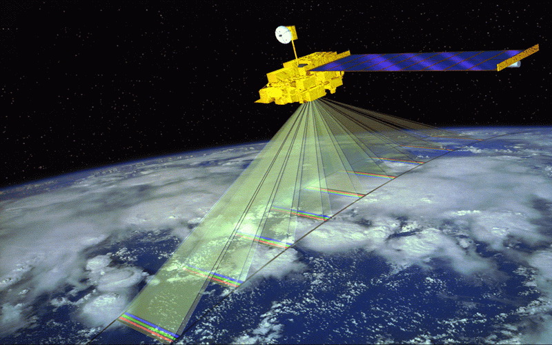
DATA ACQUISITION
PRS offers data acquisition services for various applications with wide range of platforms in hand
-

ENVIRONMENT ENGINEERING
Here at PRS, we vow to help our communities and industries by moving towards an environmentally friendly approach
-
NATURAL RESOURCE MANAGEMENT
Providing a nation’s needs depends on the accessibility of natural resources, but the increasing population continues to raise challenges in this field
-

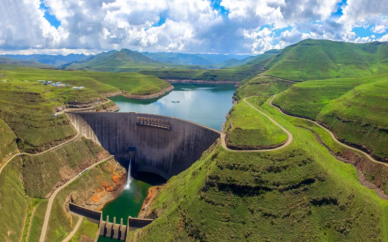
CIVIL ENGINEERING
PRS offers DSM, DTM, DEM maps, thermal mapping and progress mapping with the goal of improving engineering firms by the latest remote sensing methods
-

REMOTE SENSING DATA PROCESSING
PRS offers fast and precise spatial data processing services with high computational capabilities for large datasets