Who We Are
About Planetary Remote Sensing (PRS)
Our Mission
At PRS, our mission is to provide service to planet Earth.
We firmly believe that remote sensing is an extremely powerful tool for enabling better understanding of our natural and manmade systems. Through this understanding, we can collectively make more efficient use of our finite resources and reduce the negative impacts of human activities on the planet.
Our Goals
Day by day, aerial, satellite and terrestrial systems gather huge amounts of data. This remotely sensed information is becoming increasingly vital to making decisions in many sectors across our planet.
Here at PRS, we help our customers take advantage of technological advancements such as recently developed sensors and analytical tools. These have reduced many of the costs of remote sensing data to the point where it is practical to use it much more widely than was feasible in the past.
We use our experience and knowledge to unlock the power of this data to provide services to many sectors— including agriculture, forestry, natural resource management, environmental management, energy, civil engineering— and more.
As value-added resellers, our goal is to facilitate the acquisition of data and end products that are the right fit for your operational needs. Whether you require raw imagery, basic preprocessing, or complex data analysis and mapping, PRS provides a one-stop shop where our geospatial experts will assist you in obtaining the best RS data solutions.
Our Team
PRS operates in Coquitlam, BC where our remote sensing specialists utilize modern scientific and computational techniques to create practical solutions for processing and understanding multispectral geospatial data.

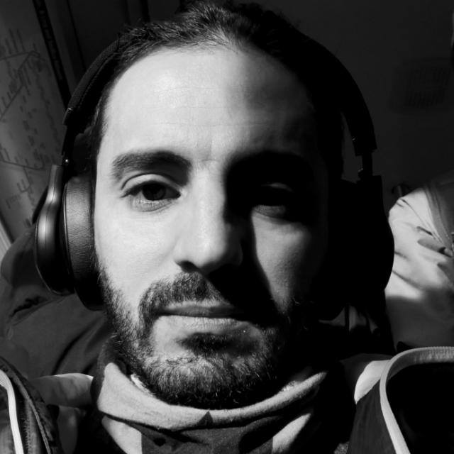
Ramin Azar, Founder (PhD in Remote Sensing, Politecnico di Milano, Italy and Master of GIS and Remote Sensing, UPM, Malaysia, B.Sc. Mining Engineering, Yazd, Iran)
Our founder, Ramin has a decade’s worth of experience, and a truly international perspective on the field of remote sensing. Long ago, he decided to dedicate himself to utilizing this powerful technology for the good of mankind and our natural environment.
Ramin's Ph.D research work was carried out at the National Research Council of Italy (CNR), Institute of Electromagnetic Sensing of the Environment (IREA), in Milan. He has worked on national, European and international projects dealing with satellite and UAV imagery for natural resources and natural hazards monitoring. His experience includes work on various types of data, such as optical and radar wavelengths and has given him a comprehensive knowledge of remote sensing data for different applications.
For further information on Ramin, and a complete list of his publications see his personal website at https://www.linkedin.com/in/raminazar/
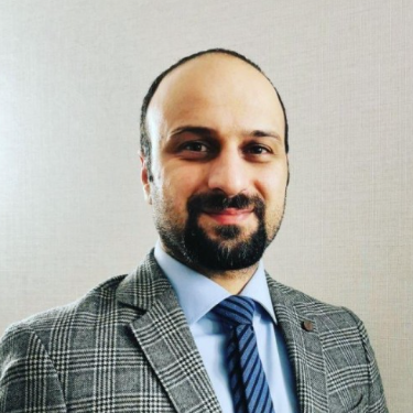
Mohsen Rafiee, Sales and Marketing, (Land Surveying, Yazd Azad University, Iran). He has worked in marketing and sales for the last 12 years and holds certificates in sales principles and marketing and negotiation techniques. He has been running his own company for the past decade and now he has joined us to offer his experience and knowledge.https://www.linkedin.com/feed/