
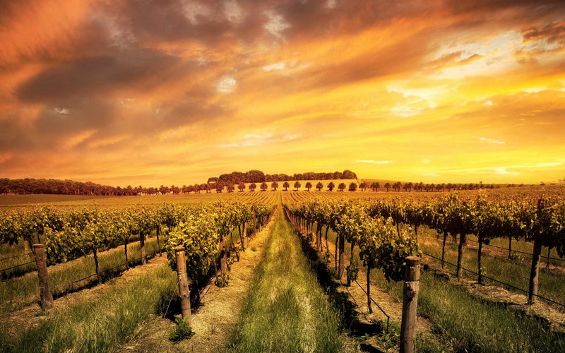
AGRICULTURE & FORESTRY
Precision agriculture using remote sensing technology provides farmers with scientific and applied methodologies to monitor fields and project the future of their harvest. We offer our services to agricultural industries in crop mapping, yield estimation, and nutrition and fertilizer implementation.
Our mission is to reduce incorrect postulations and caused expectations made by businesses through such services. At PRS, our yield estimation services present a clear vision of the impending future, whilst acquiring such data that enables businesses to plan and execute effective decisions.
With growing wildfire cases across the planet, forestry management businesses face increasingly complicated and difficult measures of operational challenges. Through PRS mapping and monitoring services, businesses in the related fields will benefit from such products and encourage future reduction of global wildfires, deforestation, disaster mapping, etc.
PRS brings accurate predictability planning and decision making to Agriculture Industry. It reduces operational costs depending on applications from 10% to 90% and delivers constant real-time monitoring to agricultural fields. Some of our services for Agriculture applications are as follow:
- Crop Yield Estimation
- Crop Damage/Stress Detection
- Irrigation Monitoring and Dranage Pattern
- Soil Mapping
- Disease Detection
- Land, Slope & Topography Mapping
- Crop Nutrient Deficiency Detection
- Flood Mapping & Monitoring
- Precision Farming
- Compliance Monitoring